Devastating flash floods in central Texas on Friday has killed more than 80 people, including over two dozen at Camp Mystic, a Christian summer camp for girls along the Guadalupe River.
The river rose rapidly early Friday morning as the area, known as Texas’ Hill Country, was saturated with rain.
Where were the floods in Texas?
The area hardest hit by the floods was Kerr County where the Guadalupe River rose to critical levels in multiple locations, according to National Weather Service data. Kerrville, the largest city in Kerr County, is roughly 100 miles west of Austin and 65 miles northwest of San Antonio.
Kerr County reported the highest number of fatalities from the floods as of Monday morning. Other counties to report fatalities include Travis County, where Austin is located.
Yasin Demirci/Anadolu via Getty Images 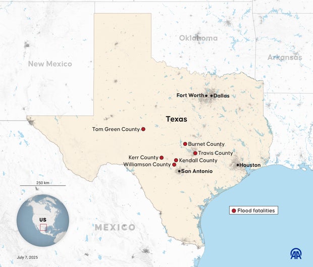
Camp Mystic located on Guadalupe River
Camp Mystic, where at least 27 campers and counselors died in the floods, is in Kerr County, near Hunt, about 13 miles west of Kerrville. Around 750 children were at the camp when the flooding started, officials said.
Other camps are also located along the river, including Camp La Junta, where two young brothers, Braeden and Brock Davis, were among the campers who escaped.
The Associated Press 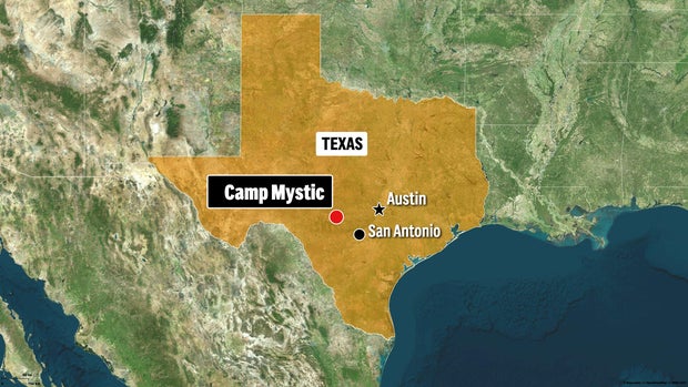
CBS News 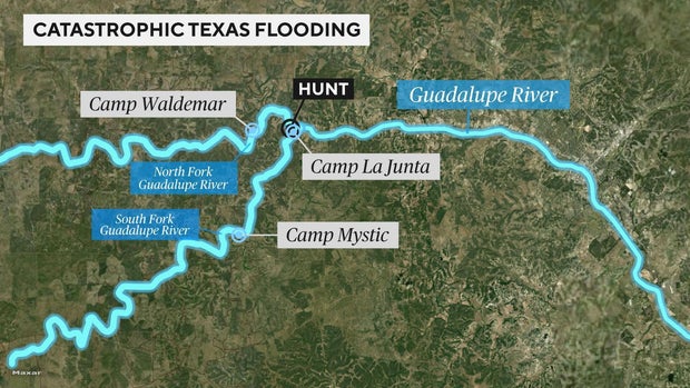
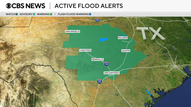
Flood watch map
The National Weather Service issued a flood watch Monday for much of the region already reeling from the floods, including Kerrville.
The watch was extended through 7 p.m. Monday, the NWS said.
CBS News